Land At Rerwick, 54.49 Acres (22.05Ha) Or Thereby, Tankerness, Orkney, KW17 2QS


Details
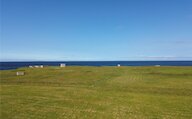
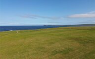
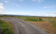
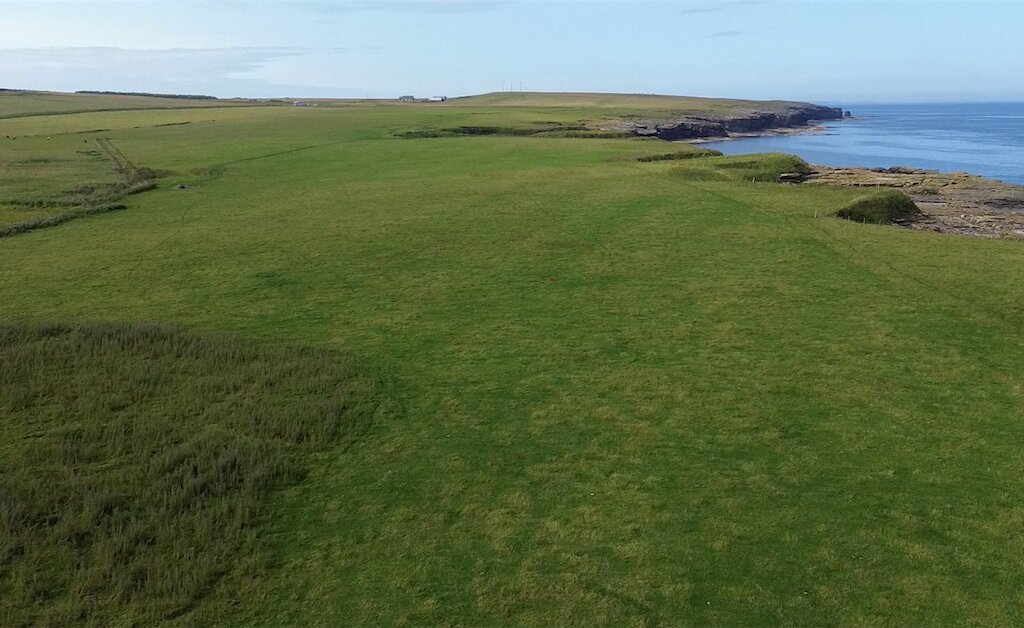
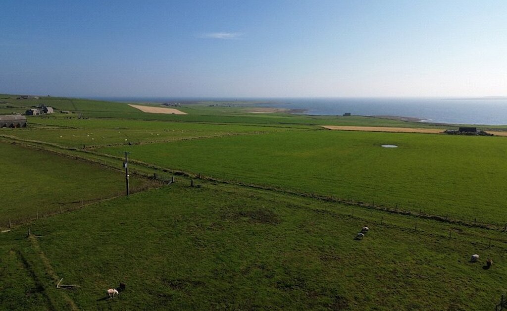
The lands of Rerwick extend to 54.49 acres (22.05 Ha) or thereby.
The agricultural land is arranged over 6 enclosures with mains water troughs.
The lands are in permanent grass with most of fields 2,3 and 5 having previously been cultivated. There is stock proof fencing throughout.
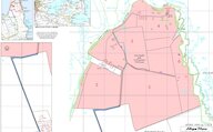
The land is classified as Region 2 for agricultural purposes and the right to claim the Basic Payment Scheme Entitlements (21 units) will be transferred to the purchaser. The land hosts a circular Core Path.
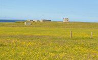
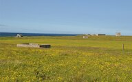
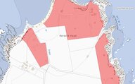
Part of the land at Rerwick is designated as a Scheduled Monument known as Rerwick Head, coastal battery (WW2) and camp comprising the remains of a coastal artillery battery and associated accommodation camp. There remains a series of concrete and brick structures, earthworks and hut bases. The former base housed two large guns, searchlight positions, lookout posts, an engine house, three air raid shelters, signal station and ammunition bunker. Many of the original buildings are still in place today, although fragile and should not be entered. Although there is no duty on the owner to maintain or improve the scheduled area, any activities that could potentially damage the monument would require Scottish Ministers consent. The scheduled area at Rerwick is shown in pink below.
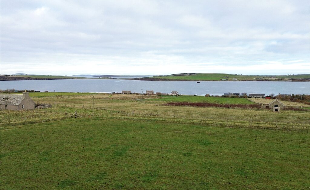
Location
Looking to sell?
Our free online property valuation form is a hassle-free and convenient way to get an estimate of the market value.